Landscape and vegetation of the Kraansvlak dunes
Leo Linnartz
ARK natuurontwikkeling
Hubert Kivit
PWN Waterleidingbedrijf Noord-Holland
28 November 2006
The Kraansvlak is part of the coastal dunes west of Amsterdam. It is bordered by the cities of
Zandvoort, Bloemendaal and Haarlem.
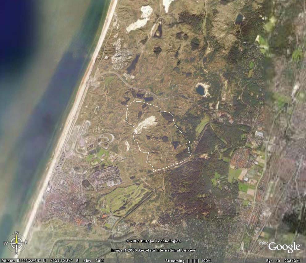
Google-earth image of Kraansvlak and it's surroundings. The cities of Zandvoort are to the lower left of
the picture and Haarlem to the right.
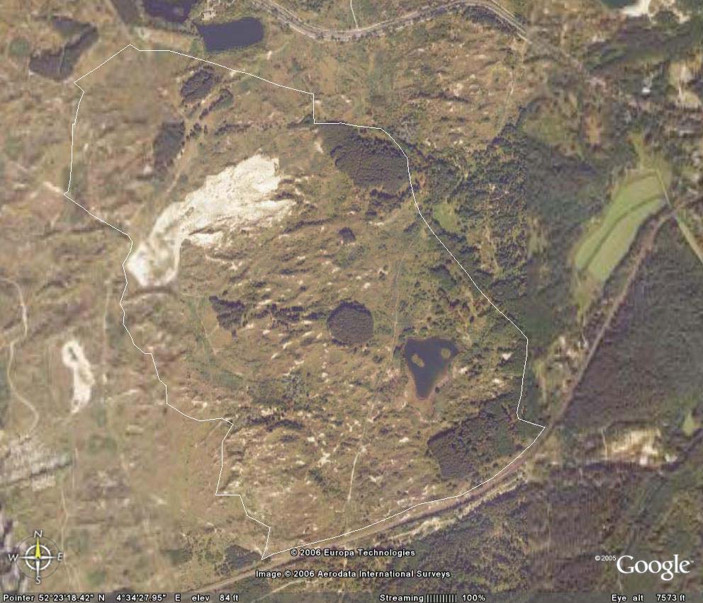
Google-earth image of Kraansvlak. The white line is the border of the wisent-area of 226ha.
The Kraansvlak area (343 ha) is situated in the middle of the Holland coastal dune area, west of
Amsterdam, the Netherlands. It comprises a complete gradient from dynamic coastal dunes (near the
North-sea) to old-growth forests along the innerside of the dune area. Up to twenty years ago, there
were many open sand areas, extensive open grasslands and a very limited amount of shrubbery.
Mostly due to nitrogen fertilization from the air (pollution) and helped by the disappearance of rabbits
as a result of viral diseases, the landscape has changed dramatically. Open sand areas have
disappeared almost completely, grasslands have become more overgrown and shrubbery and
woodland has increased. Other dynamic natural processes have ceased as well in the dunes, such as
wind-blown sand dunes covering older stages of succession and creating fresh early succession
stages. The open sand areas existing nowadays are a manmade attempt to revitalize the dune
vegetation. For a good part they are quickly overgrown again by bushes and grasses. Although most
shrubs are still young, it is species rich and growing well. Over time it will increase in quantity, size and
age. Approximately two third of the shrub has a height of up to 1 meter, the other third will be up to 4m
high.
The distribution of vegetation structure types of the ca 226 ha dedicated to the Wisent is as follows:
vegetation
ha
sand 8,5
4%
water 3,1
1%
marsh 2,1
1%
grassland 120,5
53%
High + low shrub
56,7
25%
deciduous forest
22,1
10%
pine forest
13,4
6%
total
226
Photo: Highland cattle in species rich open woodland, a very typical landscape in Kraansvlak.
Scattered around the area are patches of approximately 80 year old planted pine forests with trees of
40 to 50cm in diameter and 20m high. More inland, the inner dune area has been covered since long
with forest and here we find a mixture of old pine with young deciduous undergrowth (many Acer) or
entirely old deciduous forest with a mixed contents, e.g. poplar, oak, etc. The variation in landscapes
is huge and many forests are interspersed with areas with grassland and shrub. This results in a
species rich landscape for both flora and fauna. On the other hand, some pine forests are quite dark
and contain little undergrowth but would form good shelter for wisent in hot summer, rain or snow.
At this moment 15 Highland cattle and 8 Konik horses are living year-round in the area without
additional feeding. Since these animals will be removed from the area, we expect the Kraansvlak
would be able to support 10 to 15 wisent.
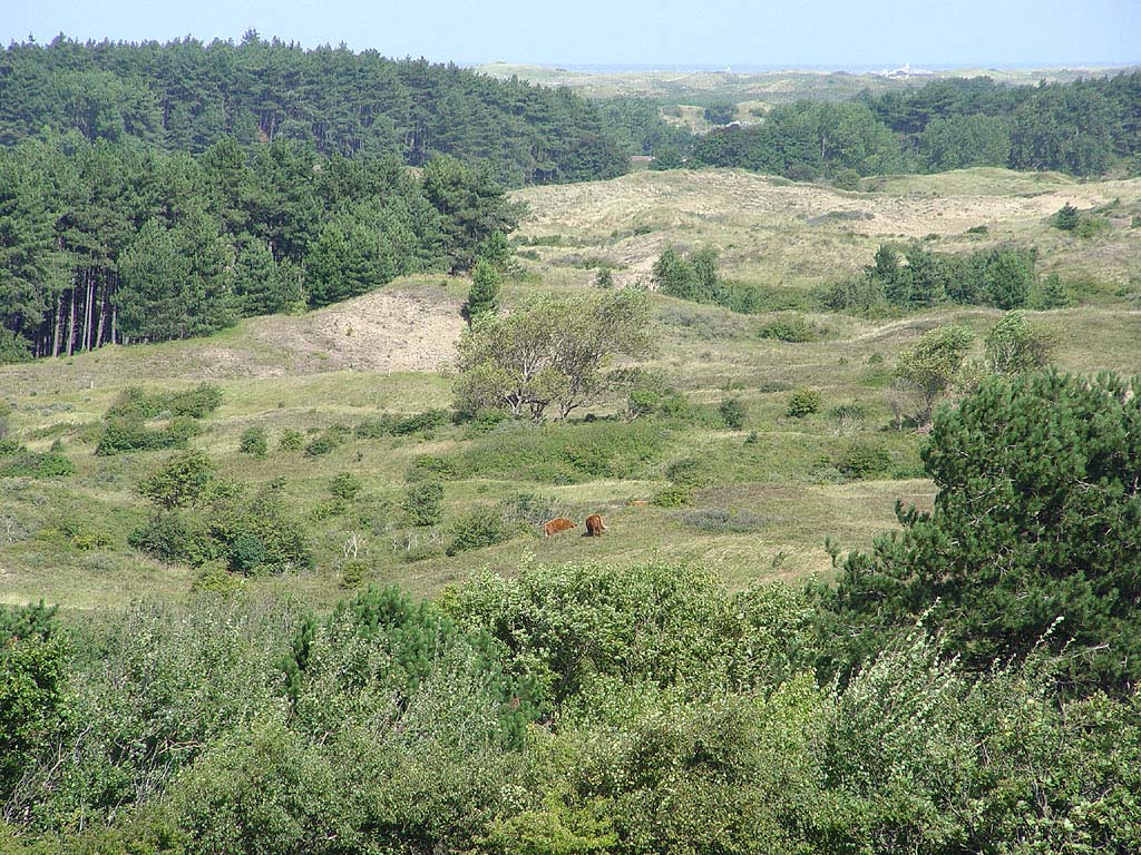
Photo: Highland cattle grazing in a typical Kraansvlak landscape, grassland interspersed with bushes
and surrounded by older forest and shrub. The North-Sea can be seen in the distance.
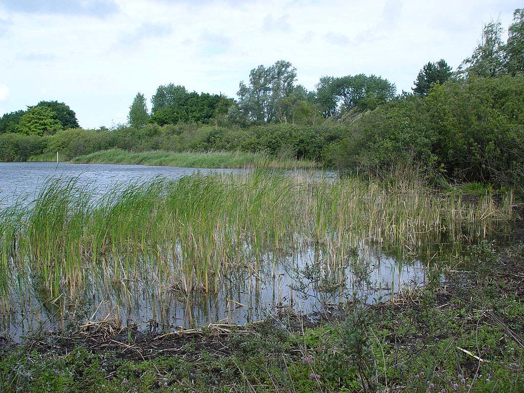
Photo: grazed marshlands around the small lake in Kraansvlak.
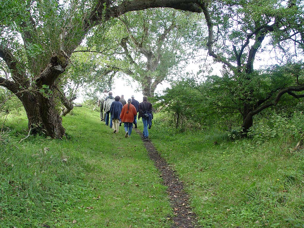
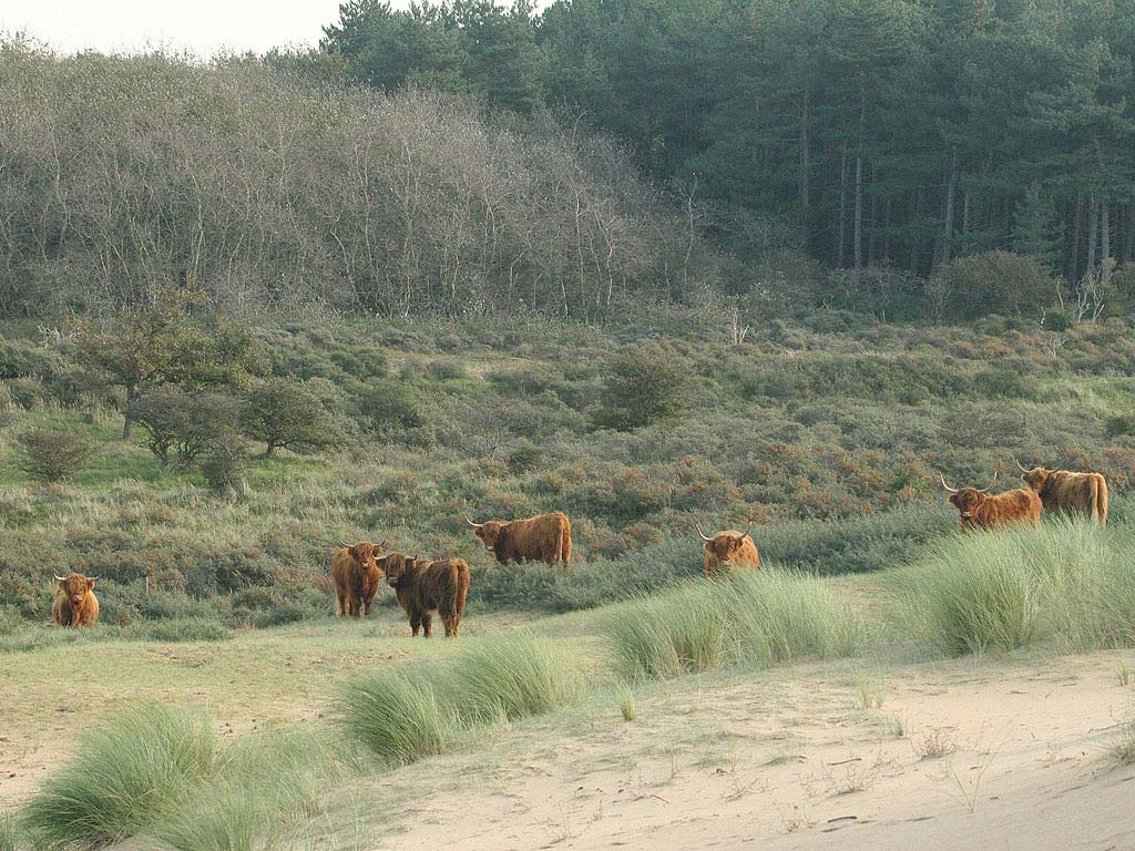
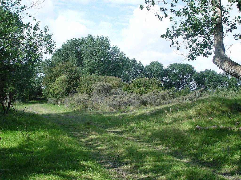
Photo: older forest in Kraansvlak opens up into grasslands and bushes. The area is closed to the
public. These people are professionals involved in Nature management.
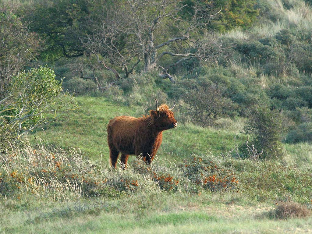
Photo: Highland cattle at the fringe of a revitalized dune in Kraansvlak in autumn. In the middle of the
picture the vegetation consists of mostly low scrub. The background is formed by old pine forest and
young deciduous woodland.
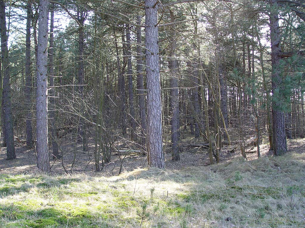
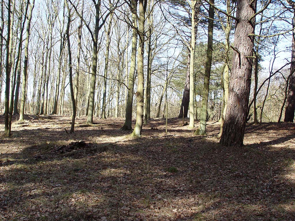
Photo: old pine forest in Kraansvlak with young Acer trees in the undergrowth.
Photo: a rare patch of old mixed forest without undergrowth in the Kraansvlak. The photograph is not
representative of the main forest type.